
Software, tools and training for low-level flight
FlySafe! provides software solutions, technical tools, documentation and support services for pilots, operators and organisations.
FlySafe! ObstacleDetect
Software designed to detect obstacles during low-level flight.
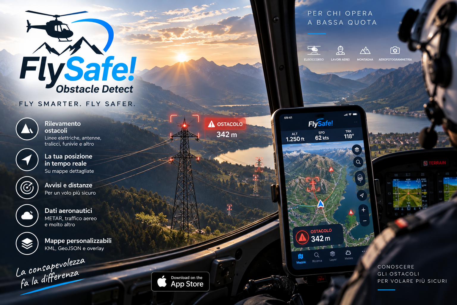
Real-time detection
FlySafe! ObstacleDetect helps pilots, particularly helicopter pilots, review obstacles represented in the available data along the direction of flight.
The system uses aircraft position, heading and speed to provide information and timely alerts about obstacles represented in the database.
Tile Creator
FlySafe!’s tool for managing obstacle data
How the tile-based system works
Il territorio è suddiviso in aree geografiche chiamate tile. Ogni tile contiene i dati relativi agli ostacoli presenti nella specifica area.
During flight, FlySafe! identifies the tile corresponding to the aircraft’s position and retrieves the required obstacle data. Tile Creator uses the same system: a technician can select a tile and download the data for the area of interest.
Downloaded data can be processed, edited or supplemented by a technician to meet operational requirements, then prepared for use with FlySafe! ObstacleDetect.
- Select a geographic tile.
- Download obstacle data.
- Manage data for the selected area.
- Prepare data for FlySafe!.
FlySafe! User Manual
A guide to installing, configuring and using FlySafe! ObstacleDetect, with screenshots, explanations and practical examples.
- Obstacle detection and alerts
- Maps and routes
- Notifications and settings
- Operational data and features
Consulting and support
Technical support and training for FlySafe! solutions, including remote assistance, consulting and tailored services.
- Remote assistance
- Technical support
- On-site consulting
- Support with data preparation
- Staff training
Custom software
Desktop, mobile and web solutions based on geolocation, mapping and geospatial data, designed for specific technical and operational requirements.
Tailored solutions
We can develop dedicated features, integrations with existing systems, custom interfaces and support for specific data formats.
The expertise gained through FlySafe! development can also be applied beyond the aviation sector.
Tell us about your project